El Capitan Limestone Cave
(July 20th, 2017)
Thursday morning, Devon pulled anchor at 7am and headed out through the tight channel from Devilfish bay. While lying in the vberth I felt the keel kiss a rock or two. Sorry Garmin but the rock placement on your BlueChart charts in Devilfish Bay are not correct. The Navonics chart on our Raymarine chartplotter and on the iPhone looks accurate though. It was a light bump so just paint rubbed off probably. Combined with the log strike earlier in the trip and the seemingly constant run-in with kelp beds we are going to have to pull Mobert out of the water back in Anacortes before we head south to California to check the prop and keel, just to be safe.
We then ran up to top of passage, just about 90 minutes away and anchored off the USFS El Capitan Limestone Cave dock. The girls were too young to go on the hike (7 is minimum age) so they went over to s/v Sea Otter to hang out with Julie. The Mike and the teen boys from Sea Otter hopped aboard and the five of us dinghied over to the dock, then walked up to the trail head to meet the rangers.
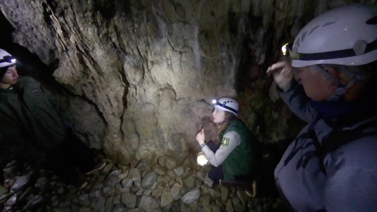
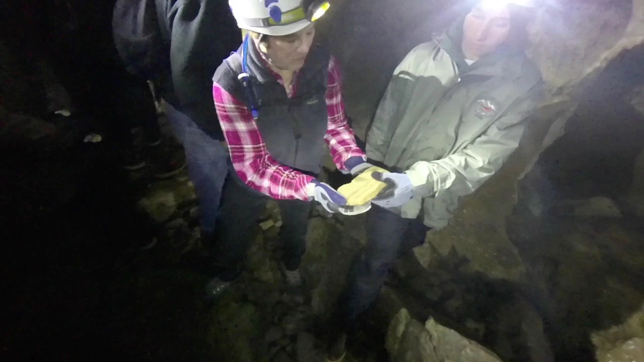
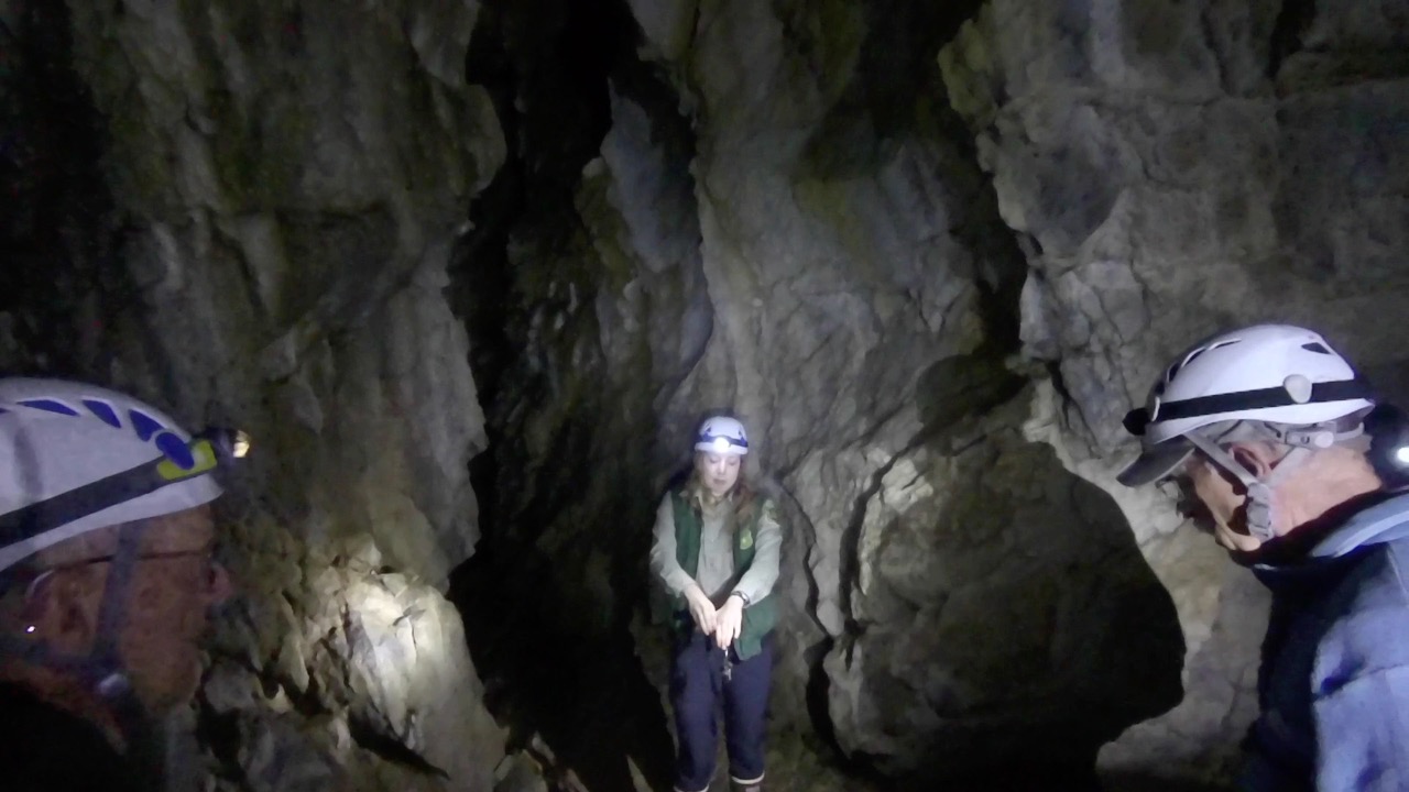
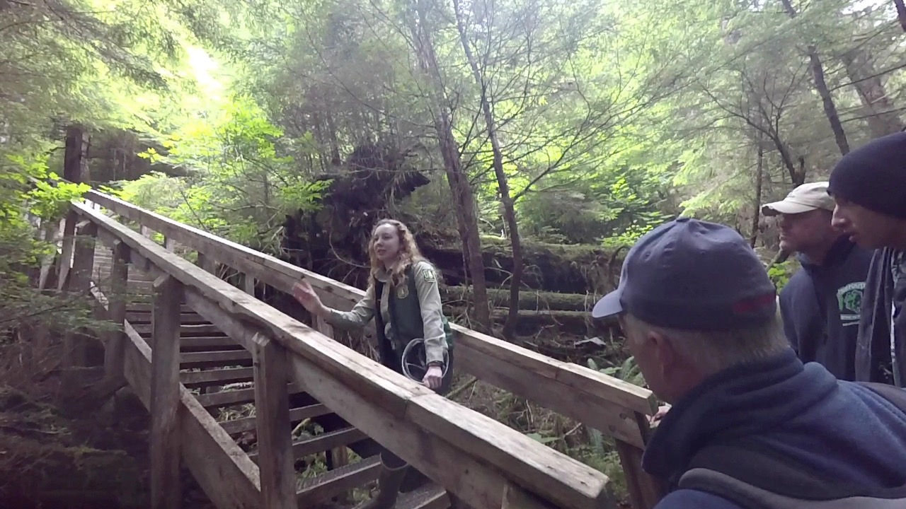
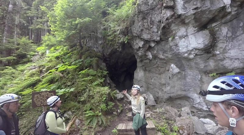
Two USFS Rangers, Jenny and Dan, college students who spend their summer giving tours of the cave, got us our helmets and headlamps, then led us up 300 twenty-five-year-old yellow cedar steps to the mouth of the cave. Yellow cedar holds up remarkably well to weather, the wood still looks in great condition. According to Wikipedia, the El Capitan Limestone Pit is the deepest limestone pit in the United States. It’s very large, with three distinct levels. The tour only gets in to the second level and Jenny explained that about 24 hours after it rains the lower level fills with water and eventually drains back out. There was a noticeable breeze exiting the cave mouth which indicated that the lower level was not flooded since it hadn’t rained recently.
Jenny and Dan did a great job explaining the terrain, the effects of prior logging on the vegetation on the hills, marks on the trees from flying squirrels and ancient tribes harvesting bark.
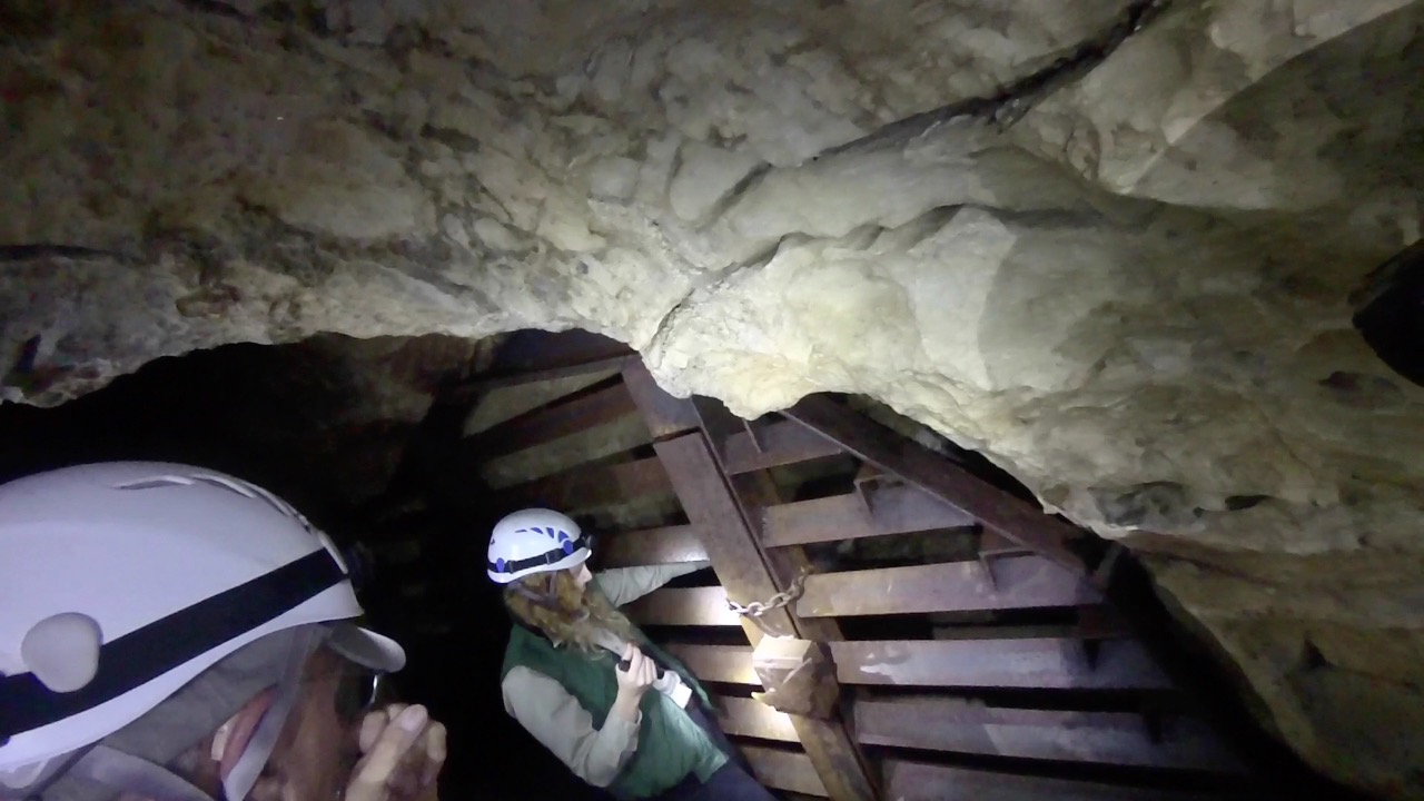
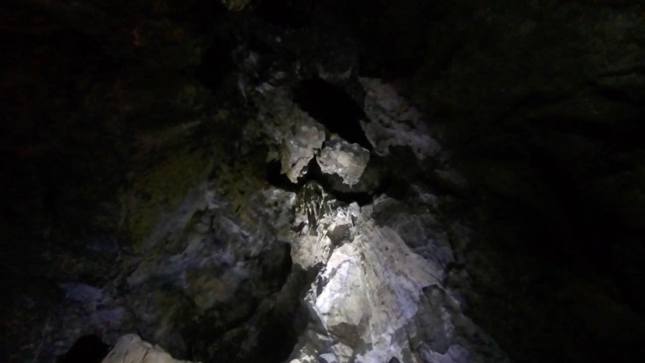
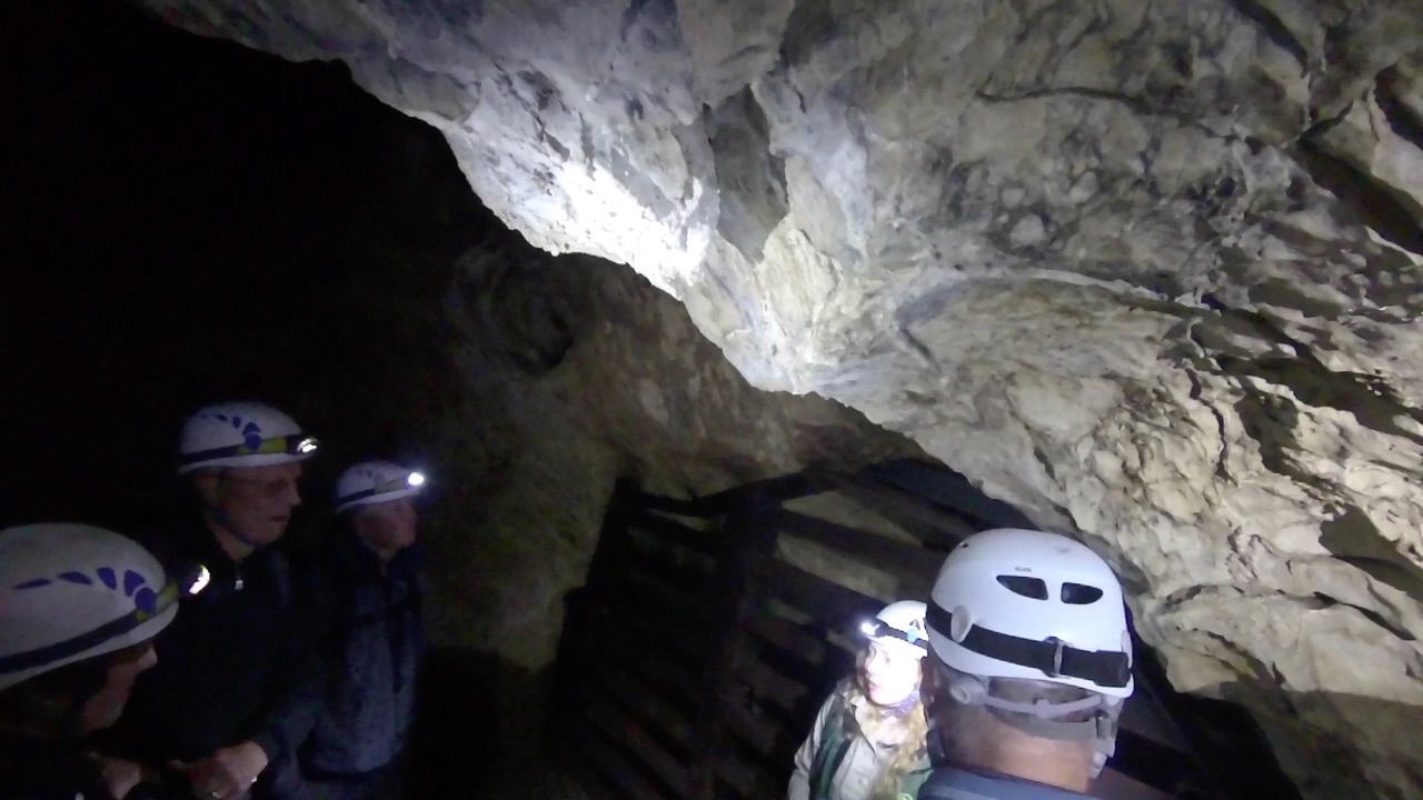
After entering the mouth of the cave, we traversed a security gate, which apparently was designed by bat conservationists in a wind tunnel to ensure that bats can fly through the slats without slowing down. Then we were in a decent sized room with holes and peaks everywhere. El Capitan Limestone Cave is relatively new in the world of caves (about 150,000 years old) so stalagmites and stalactites have not fully formed. We did see a few stalagmites that were building up in one area though.
Cool little mnemonic device Jenny provided to remember which is which…
Stalactites hold tight to the ceiling (or hang from the ceiling)
Stalagmites migrate to the ceiling (come up from the floor)
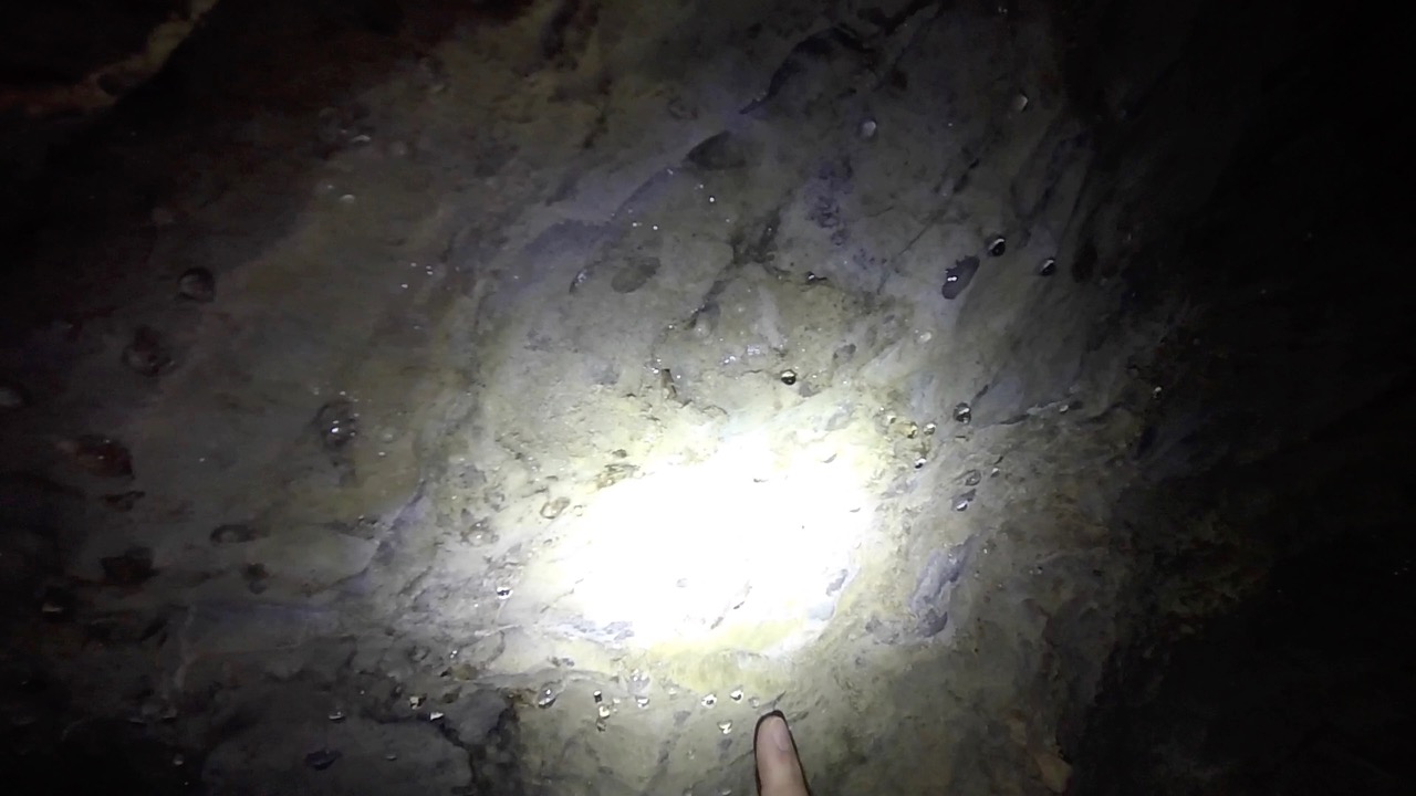
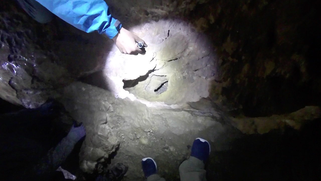
The water droplets on the walls and ceiling sparkle from the headlamps. We came across a nice little pit of death in one area, a straight vertical drop of 50 feet, connecting with the lower level. A spelunker with climbing gear could descent the pit but if you fell you’d be hurt bad and there’s no way you could climb back up.
In the back of the cave we turned off all the lights for a little while to experience complete darkness. It’s kind of calming for a little while but I can totally see why long term isolation in prison would drive someone mad. Also in the back was a pool of water which contained very clean water. The rangers explained that the peat bogs and other materials on the top of the hill make the rain water very acidic, a pH of 2.5. Then as the water filters through the limestone it is neutralized back to pH of 7 and is very well filtered naturally. It may be high in total dissolved solids but very clean otherwise.
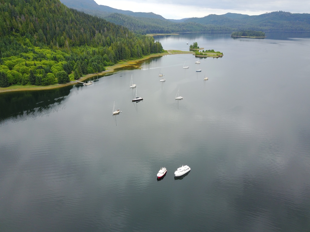
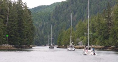
After exiting the cave, we headed back down the steps (much faster than the climb) and back to the boats. The fleet split up into two tours so we relaxed on the boat for a couple hours while the second group went up to the cave. I pulled out the drone and took some video of the area with all of our boats anchored there. When the second group had returned, we pulled anchor and continued northwest through Dry Pass, a narrow, winding, shallow channel that many boats can only traverse at high tide. Several channel markers were broken or missing but we could still navigate just fine with the charts. Once we exited Dry Pass we rounded the north side of the island and anchored in the small bay behind Divide Island.
Friday we head to Wooden Wheel Cove.

Pingback: The Consequences of Weather Complacency: BC’s Sunshine Coast – Andersons Abroad
Pingback: Prepping For Offshore Sailing – Andersons Abroad