In Search Of A Safe Anchorage
(September 28 – September 30, 2017) We pulled up the anchor in Avila Beach as Ellie navigated us out of the anchorage. We had a long motor ahead of us as we made the 54 nautical mile journey to Cojo Anchorage for the night. We were only one sleep away from arriving in the Channel Islands!
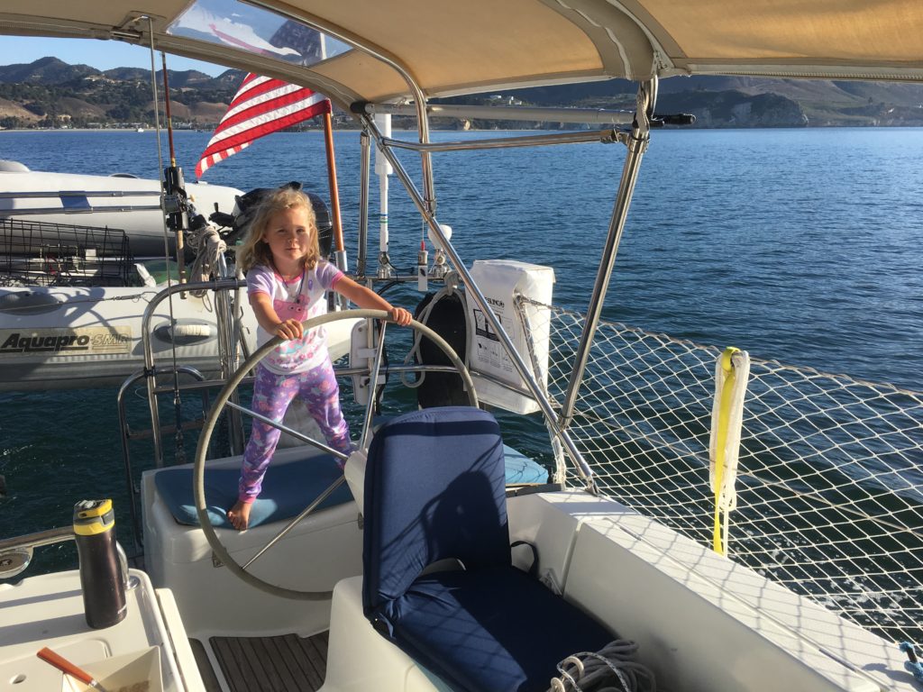
Our sail was uneventful (other than the unusual fact that we were able to sail most of the way), and we arrived in Cojo to a beautiful sunset saturated with intense reds, firey oranges, blazing yellows, and deep, smooth greens and blues. We watched the sun set as a family, sitting in the cockpit, noticing that the evening breeze was warm for the first time. We were officially South.
Despite the beauty, our night at Cojo Anchorage was terrible, and it was the first in a long week of uncomfortable nights. There was no wind and very little swell, and yet for some reason we just rolled, back and forth, like little weeble people, all night long. After eight hours of being constantly tossed onto Rich while trying to sleep, I woke up at dawn the next morning and couldn’t wait to get out of there. I was sad to leave the beauty, but the promise of a stabilizing sail as we cruised was even more exciting at that point. We were going to wait until mid-day when the wind filled in, but I was done with that anchorage. Without waiting for anyone else to wake up, I picked up the anchor myself and left.
We spent the next week in the Channel Islands. Actually, we only actually set foot on one of the islands that week, Santa Cruz. But wow, what a week! One of the most beautiful and wonder-filled weeks of our lives. Which is saying a lot, because Alaska was spectacular.
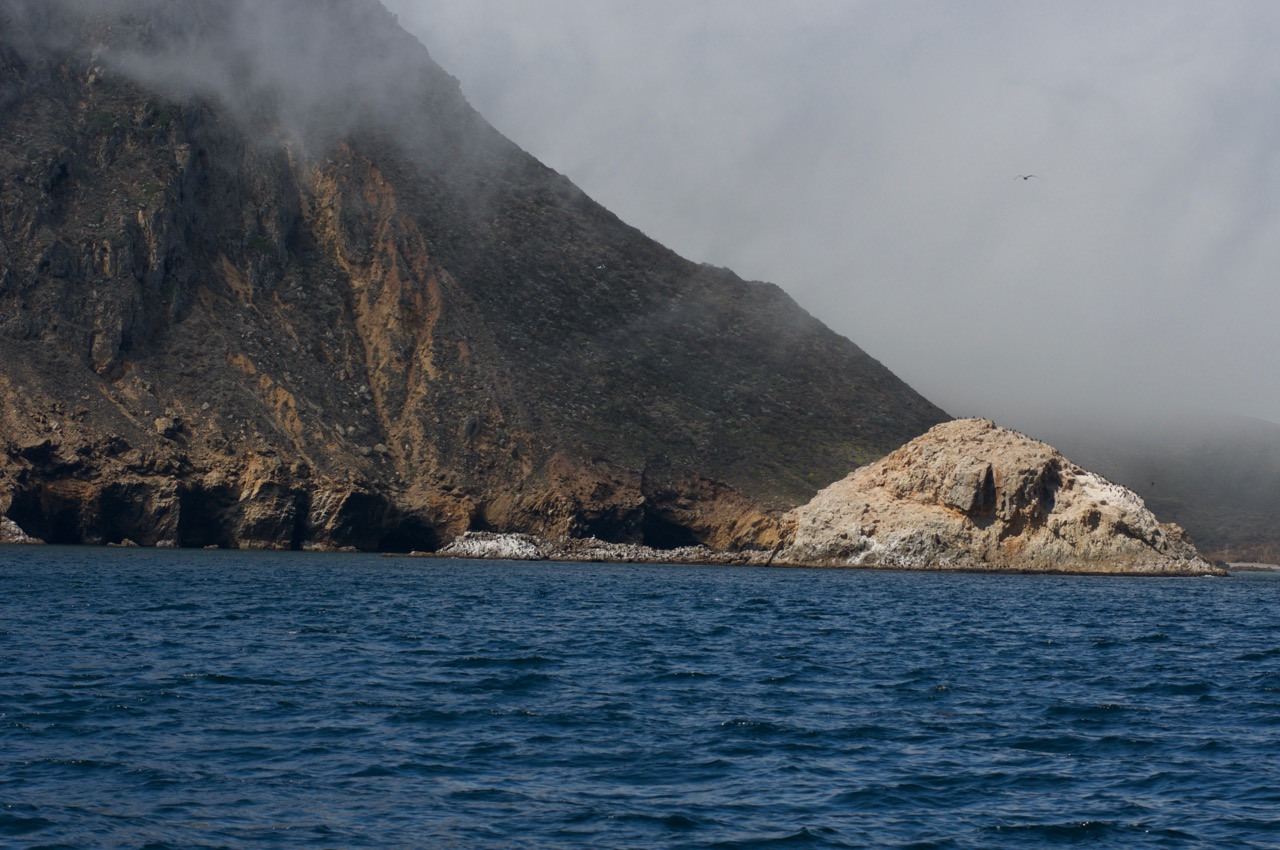
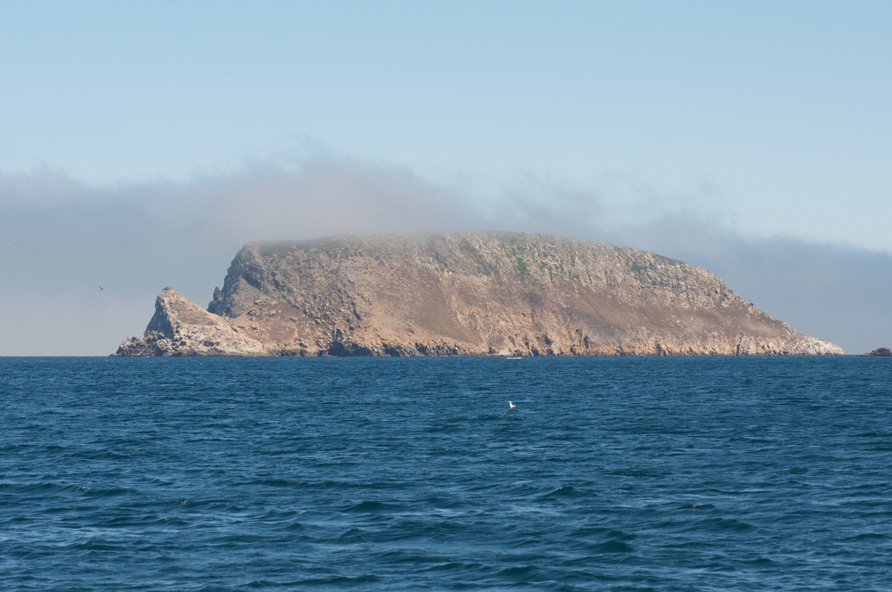
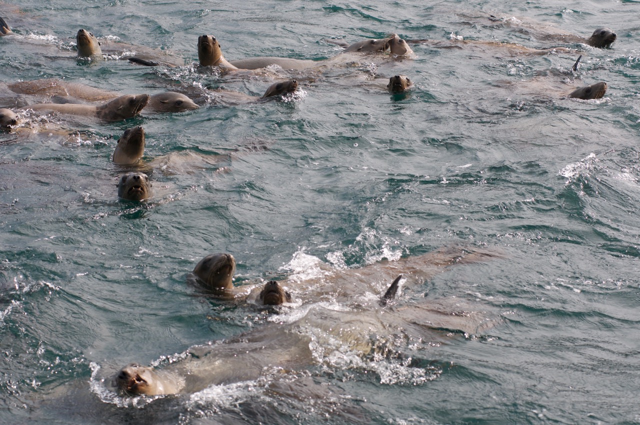
We arrived with S/V Westy at San Miguel Island around mid-day. We were pleased to find Tuwamish already there. As we pulled in, we were greeted by huge flocks of birds, and a large pod of sea lions.
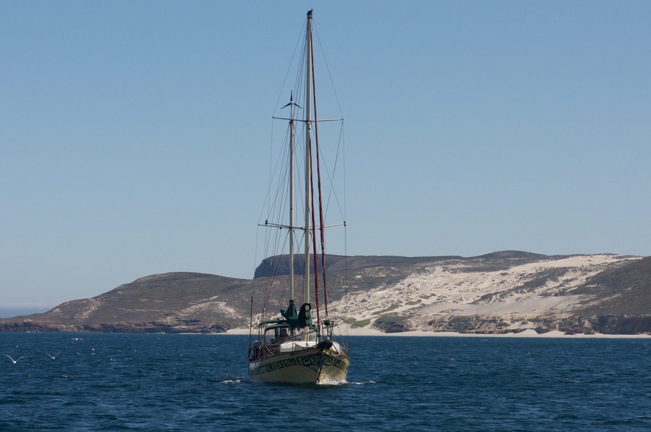
We set the anchor, but didn’t like how we were situated next to our neighbor swinging wildly on rode-only in the wind, so we pulled it back up to re-set. As we did, I saw the bottom creeping up underneath us. Wait, what? That wasn’t there before! It was black rock, and it was getting shallower and shallower! But we anchored in over 30 feet – how could the bottom just appear?! Rich was seeing the same thing on the depth sounder, as it suddenly registered only 6 feet. Our draft is 5 and a half feet.
As the bottom rose beneath us, the wildlife swarmed. Birds were everywhere, and several dozen sea lions approached. They swam around and under our boat, pausing to view the humans just as curiously as we paused to view them. That’s when I finally figured it out. I saw the rock bottom only 6 feet beneath us flash. On closer inspection, it wasn’t rock at all, but a huge school of sardines, seemingly packed as densely as solid rock (or sardines, if you will) all around us.
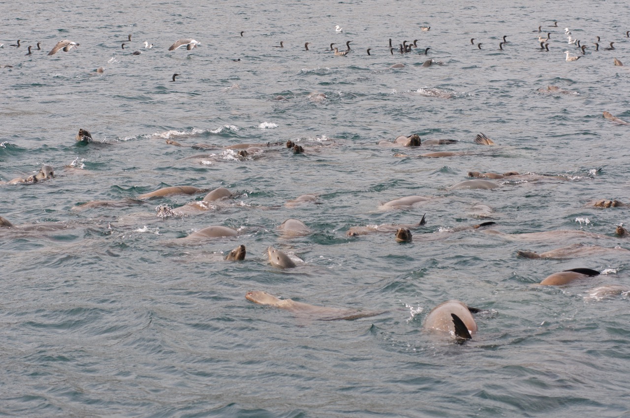
We set our anchor in a better location this time, just as the wind was picking up. There was zero wind on our motor over – how could there be so much wind now? We’d heard that the northwest hill of Cuyler Harbor had the curious effect of amplifying the wind, rather than blocking it. We definitely saw that while we were anchored there.
We spent the afternoon simply watching the wildlife, and also getting together with Westy. The girls were tired, so we didn’t head to the beach, but we hoped to do so in the morning. Sitting in our cockpit, in the harbor, shivering in the wind, it felt like we had our own little Galapagos chock-full of wildlife. The wind and cold kept us from snorkeling, so we didn’t get to see the sea urchin shrubbery and leopard sharks in the north corner of the cove, but we heard about it from Tuwamish. We weren’t disappointed to have missed it, though, because what we did see was spectacular.
That evening, we sat and listened as the wind came screaming through our rigging. Luckily, our Rocna anchor held firm through the 33-knot sustained winds that came ripping through the harbor all night long.
Although we had planned to stay at San Miguel another day, the wind was only supposed to increase, so we weighed anchor in search of more protected waters. A gale was coming in from the northwest, and despite the appearance of protection in Cuyler Harbor, the wind amplification effect meant things were about to get nautical in that harbor. It was time to get out.
Looking at the charts, it was clear there were no legitimate “harbors” as this Pacific Northwesterner would define them. At best, the Channel Islands had shallow bights all around, each of which would only provide protection in certain conditions. After scouring our charts, Westy decided to head for the mainland to ride out the gale. We settled on the Northwest Anchorage at Becher’s Bay on Santa Rosa Island.
As we sailed down, we noticed one of the boat that had been in San Miguel with us seemed to be behind us, heading in the same direction. Meanwhile, Rich caught a few moments of LTE from the mainland, and of course used it to check Facbook. There, in one of the forums, was a photo of our boat, anchored in San Miguel just that morning! We radioed the boat that seemed to be following us to see if that was them, and were pleased to discover that S/V Decision – whom we’d met via Facebook only – had been at San Miguel with us last night, and was also heading to the Northwest Anchorage. We were eager to meet another kid boat, despite the fact that we’d already met them virtually.
I was also eager to reach the Northwest Anchorage so that we could get some sleep, and spend some time on the islands. Between the rocking in Cojo, and the ripping wind in Cuyler, I hadn’t slept much in the past two nights, and we hadn’t been off the boat in almost 3 days. It was time to slow down and stay somewhere a few days, and the incoming weather would give us an excuse to do just that.
Except there was one problem. We couldn’t stay at Santa Rosa.
When we arrived at the Northwest Anchorage with Decision, we were thrilled to see Tuwamish there. The crew wasn’t on board, but they came back from a shore excursion just as we finished up anchoring, and getting ready to settle in for a few days. The wind was steadily and quickly picking up in the harbor, but after the anchor held so firm in Cuyler, I wasn’t particularly worried about the wind here – the bay was large enough that, even if we did drag, chances were we could drag all night long safely.
Just as we got settled in and started squeezing limes for the margaritas, Tuwamish returned from shore and Adam hailed us on the radio. “Hey Mobert, how’s it going?”
We told him about our windy night in Cuyler, and Adam was surprised – apparently, Tuwamish was lucky enough to experience three days of nearly dead calm there.
“How were the winds here last night?” we asked.
“Aw, ya knaw,” Adam started with a drawl that was equal parts southern and surfer dude. “They were screamin’ pretty good all night, but we did just fine.” He paused, then continued, “Ya know, we were just up at the ranger station, and he said there’s a gale comin’ in, and that we oughtta get outta here.”
My heart sank. I really needed to slow down the travel pace a bit, not to mention get one good night’s sleep, and it was already three in the afternoon – how could we move? On the radio, Rich responded: “We were hoping we’d get some protection here.”
“Nah, the ranger says it’s gonna kick up real good in here, so he suggested we find somewhere on the south side of Santa Cruz.”
There was some confusion as we all got out our charts and guidebooks, and started proposing anchorages. We all reiterated that we thought this anchorage would have been protected from the incoming northwesterly, so clearly we had no idea how to find a decent anchorage around here. In the end, we decided we’d simply all pick up anchor and head south, poking our bow in at each potential anchorage on the backside of Santa Cruz Island to look at the conditions.
The sun was getting low as we approached the first potential anchorage, Malva Real. I’m not sure what kind of adrenaline junky designated this an anchorage, but we were still more than a mile out as we watched the waves bashing into the rocky shoreline. Pass.
Next, we arrived at Willows. There appeared to be less wind and swell in this little indent, but probably not room for all three of our boats unless we rafted together. With the sun at the horizon, we didn’t feel like we had time to keep moseying along, so developed a plan to raft bow-to-stern-to-bow and began to execute.
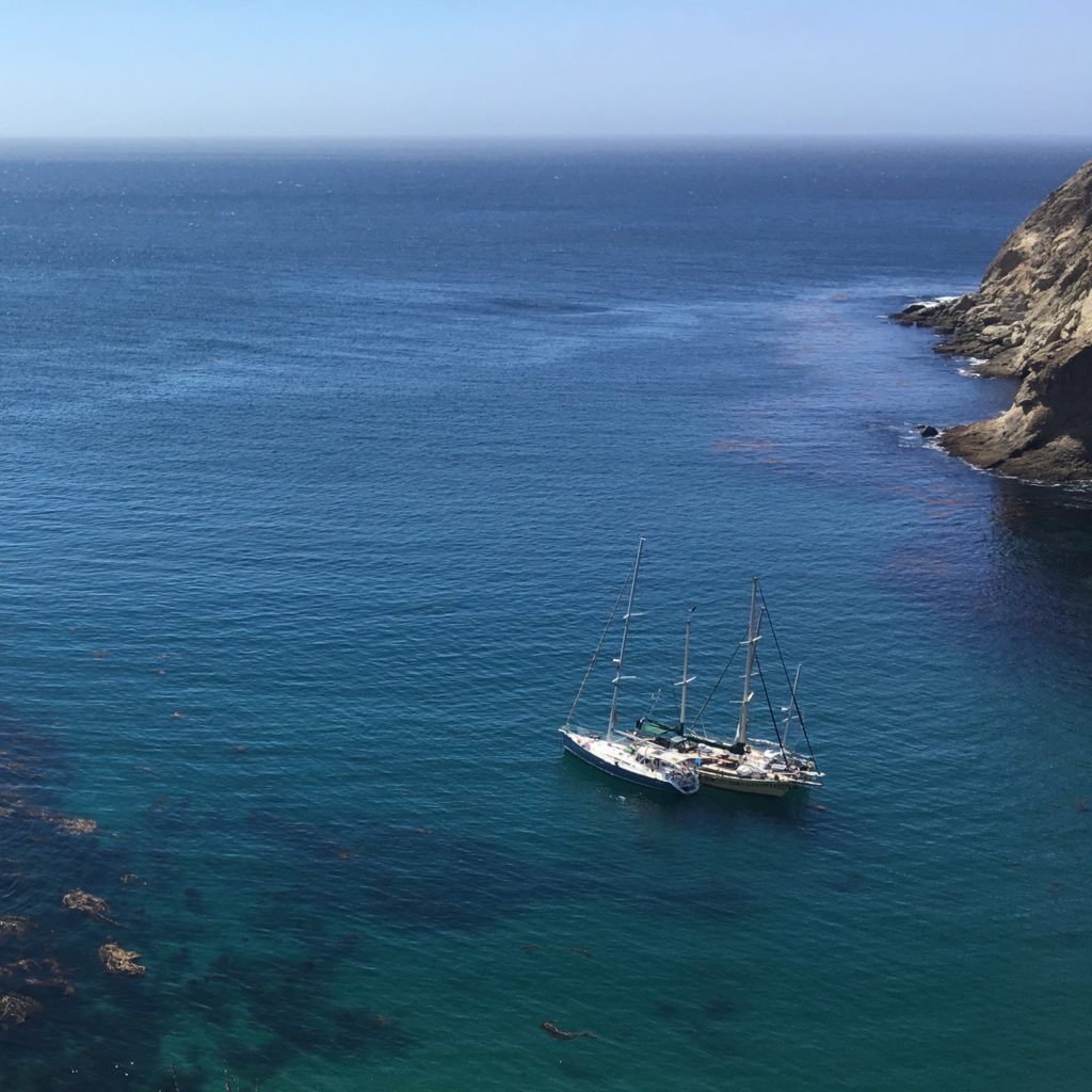
Tuwamish went in the tiny cove first, then dropped its anchor in less than 10 feet of water, and backed out. Next, we set our anchor about 100 feet off
Tuwamish’s bow to its port side, backing in toward Tuwamish until our bow was rafted on Tuwamish’s stern, and our stern on its bow. Finally, Decision set its anchor about 100 feet off Tuwamish’s starboard bow, and rafted similarly on the other side. With our Tuwamish sandwich complete, we cinched up the anchor lines and prepped extra fenders. Although the swell was less in the cove than it was out in the open ocean (only a few hundred feet away), it was still enough that our boats were riding somewhat roughly together. But, it was dark and we were all tired, so we warily headed off to bed.
I couldn’t sleep. At nearly 11PM, I got back up. Something wasn’t right. I checked the track on my iPad – we’d moved over 150 feet closer to the rocks. Given that our boat only had 230 feet of chain out in 40 feet of water, that movement was significant.
I grabbed our spotlight and went up on deck. Adam must have felt something was off, too, because before I had a chance to turn the spotlight on, he was also up on deck, thinking something was off. I looked in the water, and we were sitting in a kelp bed that had been fairly far off our port before bed, with waves crashing on the ledge another 100 feet away. We tightened up a few anchor lines, loosened some others, and while we did that the wind died down. Hopefully, the wind would stay down for the night. Unfortunately, the rolling didn’t stop. Knowing there was nothing more we could do, we both went back to bed.
I continued checking the track on my phone all night. For the third night in a row, I wasn’t going to be able to sleep. Luckily, we didn’t seem to be inching any closer to the rocks after we adjusted the lines, and our position held steady throughout the night, as our fenders and lines creaked and squeaked in the rolly darkness.
At this point, I was going on three nights with nearly no sleep, and a full three days without getting off the boat. If we didn’t find a calm anchorage where we could play soon, we were going to have problems.
Want to be the first to hear the conclusion of our Channel Islands story, and whether I EVER get any sleep again? Get early access to select blog posts – including the conclusion of this one – by supporting us on Patreon! Click here to join.
